Adaptive Mission Planning and Execution Using the New Blueforce GeoJSON Plugin
If you have been following Blueforce for any amount of time, you know the value we place on open standards. Even more so, standards that are portable between a wide array of compute environments, but also those that are light on the network. We have become quite enamored with REST/JSON given the speed in which it allows stateless inter-connectivity between Blueforce APIs and disparate systems. Our BlueforceEDGE REST/JSON API has enabled our partners to interface with third-party systems in days (not weeks or months). The Wi-Fiber Smart City platform is just one example of this: The speed of integration in connecting Blueforce to their distributed and advanced shot detection systems was done in days, delivering rapid value for our joint Public Safety and National Security customers. JSON is easy to use, provides faster execution of data, and is supported by most systems we have encountered to date, making it a natural protocol for speedy system-to-system interoperability and connectivity.
We have been following the adoption of GeoJSON for nearly a year now, with most of the demand coming from militaries and special operations commands outside of the United States. GeoJSON is a popular format for exchanging geographic data and builds on the success and flexibility of JSON to describe structured geo-spatial data, and simplifies many of the more complicated aspects of traditional GIS file formats. From a standards perspective, GeoJSON is now formalized by IETF RFC 7946, with a working group to guide future additions.
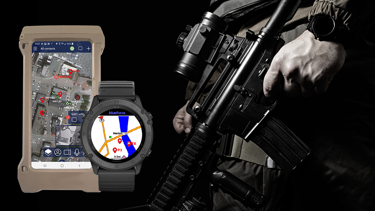
Blueforce is excited to announce the BETA release of our new GeoJSON Plugin for BlueforceTACTICAL and BlueforceCOMMAND. The new plugin allows members of a team to capture coordinates for individual use, but also to share as part of a broader and subscribable collection of mission critical geo-points while allowing each member of the team to turn on/off discrete feeds from others, on the fly. As well, the plugin exposes our new Inter-Process Messaging bus so that the plugin can receive and pass selected data sets with any IoBT and/or GIS enabled sensor to include ballistic solvers and new tactical wearables.
Core capabilities of the new BlueforceTACTICAL GeoJSON Plugin include:
- My Mission: Each team member can collect and store coordinates critical to their individual mission
- Portable: Blueforce’s “system-of-systems” approach to IoT sensor sharing means any person on the team may make their GeoJSON feed sharable, and each member of the team may view feeds of importance on the fly.
- Autonomous Extensibility: The Blueforce API allows for laser rangefinders and other sensors to dynamically feed GeoJSON collections and then share/update in real-time.
- Extrasensory Perception: Shared Blueforce GeoJSON feeds will be one feeder into our upcoming as part of our IoBT recognitional edge AI.
- Transformation: A forthcoming BlueforceEDGE Geo-Translation Plugin will decompose GeoJSON layers shared with it and transform into real-time Cursor-on-Target (CoT), KML/KMZ, and other higher echelon C4ISR systems.
Its the perfect solution for advance reconnaissance and creation of target packages, but also route planning, advanced incident management, and more generalized mission planning. To learn more, send us a note at info@blueforcedev.com, click the button below, or call us at 866-960-0204.


